Pasture at Tamar Farm
Introduction
The photograph on this page of Pasture at Tamar Farm by Derek Harper as part of the Geograph project.
The Geograph project started in 2005 with the aim of publishing, organising and preserving representative images for every square kilometre of Great Britain, Ireland and the Isle of Man.

There are currently over 7.5m images from over 14,400 individuals and you can help contribute to the project by visiting https://www.geograph.org.uk
Pasture at Tamar Farm
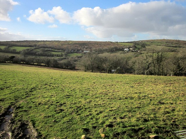
Image: © Derek Harper Taken: 24 Jan 2015
One of the buildings at Tamar Farm can be discerned through the trees across this pasture. Across the valley below Warleggan Down are Down House, and Castle Dewey (right).
Images are licensed for reuse under creativecommons.org/licenses/by-sa/2.0
Image Location


Leaflet Map data © OpenStreetMap
Latitude
50.502086
Longitude
-4.587677