Hemel Hempstead: Parish Church of St Alban, Warners End
Introduction
The photograph on this page of Hemel Hempstead: Parish Church of St Alban, Warners End by Nigel Cox as part of the Geograph project.
The Geograph project started in 2005 with the aim of publishing, organising and preserving representative images for every square kilometre of Great Britain, Ireland and the Isle of Man.

There are currently over 7.5m images from over 14,400 individuals and you can help contribute to the project by visiting https://www.geograph.org.uk
Hemel Hempstead: Parish Church of St Alban, Warners End
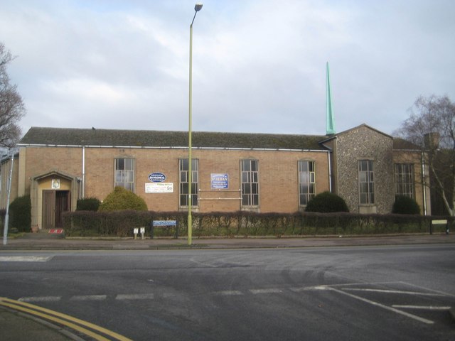
Image: © Nigel Cox Taken: 1 Feb 2015
Anyone looking at this grid square on the map would see that the church spire was cartographically the most dominant feature. Well, folks, here is said spire, at a lesser height one would guess than the street lamp post.
Images are licensed for reuse under creativecommons.org/licenses/by-sa/2.0
Image Location
Latitude
51.756422
Longitude
-0.492188