Malone House, Belfast (winter view) (February 2015)
Introduction
The photograph on this page of Malone House, Belfast (winter view) (February 2015) by Albert Bridge as part of the Geograph project.
The Geograph project started in 2005 with the aim of publishing, organising and preserving representative images for every square kilometre of Great Britain, Ireland and the Isle of Man.

There are currently over 7.5m images from over 14,400 individuals and you can help contribute to the project by visiting https://www.geograph.org.uk
Malone House, Belfast (winter view) (February 2015)
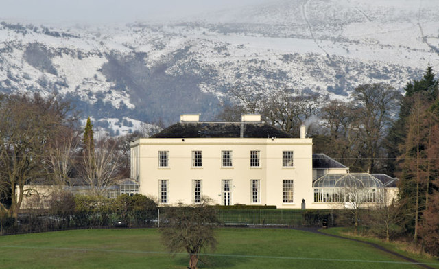
Image: © Albert Bridge Taken: 2 Feb 2015
Malone House http://www.belfastcity.gov.uk/tourism-venues/malonehouse/mhhistory.aspx seen from the path to Terrace Hill. The snow-covered hills make an interesting comparison with this spring view Image in May 2009.
Images are licensed for reuse under creativecommons.org/licenses/by-sa/2.0
Image Location
Latitude
54.552868
Longitude
-5.957831