Hemel Hempstead: Long Chaulden
Introduction
The photograph on this page of Hemel Hempstead: Long Chaulden by Nigel Cox as part of the Geograph project.
The Geograph project started in 2005 with the aim of publishing, organising and preserving representative images for every square kilometre of Great Britain, Ireland and the Isle of Man.

There are currently over 7.5m images from over 14,400 individuals and you can help contribute to the project by visiting https://www.geograph.org.uk
Hemel Hempstead: Long Chaulden
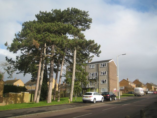
Image: © Nigel Cox Taken: 1 Feb 2015
Long Chaulden is the name of the semi-circular road that joins together a lot of the individual areas in the western part of Hemel Hempstead. Here a fine stand of old Scots Pine trees dominates a modern 4 storey housing block.
Images are licensed for reuse under creativecommons.org/licenses/by-sa/2.0
Image Location
Latitude
51.756617
Longitude
-0.50044