Dullingham: houses by Church Pond
Introduction
The photograph on this page of Dullingham: houses by Church Pond by John Sutton as part of the Geograph project.
The Geograph project started in 2005 with the aim of publishing, organising and preserving representative images for every square kilometre of Great Britain, Ireland and the Isle of Man.

There are currently over 7.5m images from over 14,400 individuals and you can help contribute to the project by visiting https://www.geograph.org.uk
Dullingham: houses by Church Pond
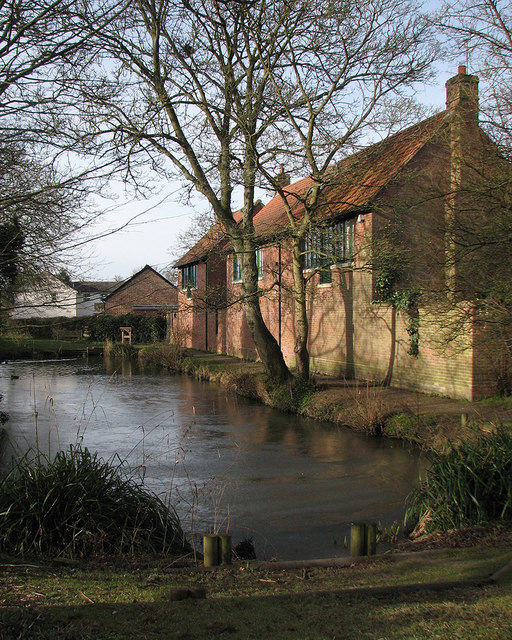
Image: © John Sutton Taken: 2 Feb 2015
The information board explains that the pond, which is up to 7ft deep and was once longer (at this end), was originally a Roman dew pond. The houses replace maltings destroyed by a freak tornado in 1991. After a cold February night half of the pond was still skinned with ice in mid morning.
Images are licensed for reuse under creativecommons.org/licenses/by-sa/2.0
Image Location
Latitude
52.193677
Longitude
0.385233