Carr Meadow
Introduction
The photograph on this page of Carr Meadow by Dave Dunford as part of the Geograph project.
The Geograph project started in 2005 with the aim of publishing, organising and preserving representative images for every square kilometre of Great Britain, Ireland and the Isle of Man.

There are currently over 7.5m images from over 14,400 individuals and you can help contribute to the project by visiting https://www.geograph.org.uk
Carr Meadow
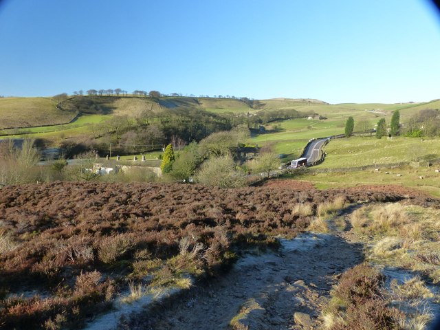
Image: © Dave Dunford Taken: 4 Jan 2015
The hamlet of Carr Meadow, on the A624 Glossop–Chapel-en-le-Frith road, from the Middle Moor footpath. The bus is most likely the 61 Glossop–Buxton service operated by Arriva Midlands.
Images are licensed for reuse under creativecommons.org/licenses/by-sa/2.0
Image Location


Leaflet Map data © OpenStreetMap
Latitude
53.401953
Longitude
-1.949425