Allotments and Bridport Medical Centre
Introduction
The photograph on this page of Allotments and Bridport Medical Centre by John Stephen as part of the Geograph project.
The Geograph project started in 2005 with the aim of publishing, organising and preserving representative images for every square kilometre of Great Britain, Ireland and the Isle of Man.

There are currently over 7.5m images from over 14,400 individuals and you can help contribute to the project by visiting https://www.geograph.org.uk
Allotments and Bridport Medical Centre
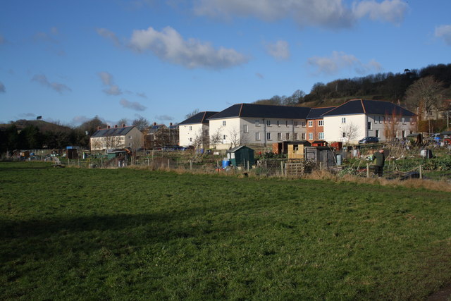
Image: © John Stephen Taken: 18 Jan 2015
View of rear of Bridport Medical centre with allotments. On the far left skyline is Colmers Hill. The small housing development middle left is affordable housing for local people and is due to be completed shortly. Allington Hill rises to the right behind the medical centre. The River Simene runs behind the photographer, the field being extremely boggy as a result.
Images are licensed for reuse under creativecommons.org/licenses/by-sa/2.0
Image Location
Latitude
50.733894
Longitude
-2.769235