Grassed area beside The Grove Primary School
Introduction
The photograph on this page of Grassed area beside The Grove Primary School by Trevor Littlewood as part of the Geograph project.
The Geograph project started in 2005 with the aim of publishing, organising and preserving representative images for every square kilometre of Great Britain, Ireland and the Isle of Man.

There are currently over 7.5m images from over 14,400 individuals and you can help contribute to the project by visiting https://www.geograph.org.uk
Grassed area beside The Grove Primary School
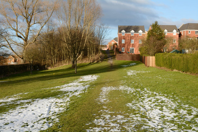
Image: © Trevor Littlewood Taken: 1 Feb 2015
The Grove is a residential area, perhaps a village in its own right, between Consett and Moorside. The school lies out of view down the slope to the left.
Images are licensed for reuse under creativecommons.org/licenses/by-sa/2.0
Image Location
Latitude
54.846343
Longitude
-1.855298