North along Canal Close, Griffithstown, Pontypool
Introduction
The photograph on this page of North along Canal Close, Griffithstown, Pontypool by Jaggery as part of the Geograph project.
The Geograph project started in 2005 with the aim of publishing, organising and preserving representative images for every square kilometre of Great Britain, Ireland and the Isle of Man.

There are currently over 7.5m images from over 14,400 individuals and you can help contribute to the project by visiting https://www.geograph.org.uk
North along Canal Close, Griffithstown, Pontypool
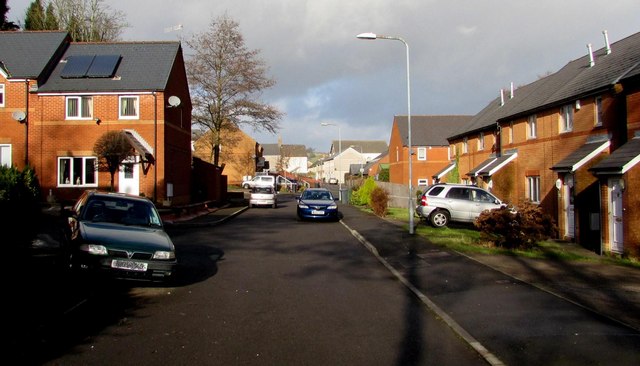
Image: © Jaggery Taken: 24 Jan 2015
Looking towards Kemys Street from the southern end of Canal Close. The canal in question is the former Monmouthshire & Brecon, a few metres to the east (right).
Images are licensed for reuse under creativecommons.org/licenses/by-sa/2.0
Image Location
Latitude
51.683671
Longitude
-3.024042