Cwmdwr
Introduction
The photograph on this page of Cwmdwr by Alan Richards as part of the Geograph project.
The Geograph project started in 2005 with the aim of publishing, organising and preserving representative images for every square kilometre of Great Britain, Ireland and the Isle of Man.

There are currently over 7.5m images from over 14,400 individuals and you can help contribute to the project by visiting https://www.geograph.org.uk
Cwmdwr
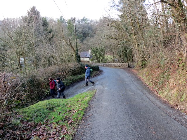
Image: © Alan Richards Taken: 1 Feb 2015
Cerddwyr yn gadael yr heol a dilyn llwybr cyhoeddus yng Nghwmdwr.. Walkers leaving the road to follow a public footpath in Cwmdwr (trans. river valley).
Images are licensed for reuse under creativecommons.org/licenses/by-sa/2.0
Image Location
Latitude
51.978079
Longitude
-3.881202