Erddig Road junction with Wellington Road and Fairfield Street
Introduction
The photograph on this page of Erddig Road junction with Wellington Road and Fairfield Street by John S Turner as part of the Geograph project.
The Geograph project started in 2005 with the aim of publishing, organising and preserving representative images for every square kilometre of Great Britain, Ireland and the Isle of Man.

There are currently over 7.5m images from over 14,400 individuals and you can help contribute to the project by visiting https://www.geograph.org.uk
Erddig Road junction with Wellington Road and Fairfield Street
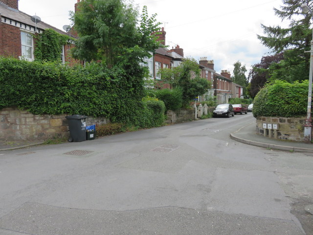
Image: © John S Turner Taken: 21 Jul 2014
Looking across the junction of Erddig Road, straight ahead, with Wellington Road to the right. Fairfield Street also joins from the left. Across the road, and behind the wheelie bin for #59 Erddig Road, there is a weathered Ordnance Survey bench mark - Image
Images are licensed for reuse under creativecommons.org/licenses/by-sa/2.0
Image Location
Latitude
53.040844
Longitude
-2.99611