Whitemans Green Playing Fields, Whitemans Green
Introduction
The photograph on this page of Whitemans Green Playing Fields, Whitemans Green by Simon Carey as part of the Geograph project.
The Geograph project started in 2005 with the aim of publishing, organising and preserving representative images for every square kilometre of Great Britain, Ireland and the Isle of Man.

There are currently over 7.5m images from over 14,400 individuals and you can help contribute to the project by visiting https://www.geograph.org.uk
Whitemans Green Playing Fields, Whitemans Green
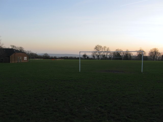
Image: © Simon Carey Taken: 24 Jan 2015
Laid out in the 1960s with the pavilion to the left roughly occupying the spot where Whitemans Green Mill once stood. The South Downs can be seen on the horizon.
Images are licensed for reuse under creativecommons.org/licenses/by-sa/2.0
Image Location
Latitude
51.014469
Longitude
-0.148417