Stroods, Whitemans Green, Whitemans Green
Introduction
The photograph on this page of Stroods, Whitemans Green, Whitemans Green by Simon Carey as part of the Geograph project.
The Geograph project started in 2005 with the aim of publishing, organising and preserving representative images for every square kilometre of Great Britain, Ireland and the Isle of Man.

There are currently over 7.5m images from over 14,400 individuals and you can help contribute to the project by visiting https://www.geograph.org.uk
Stroods, Whitemans Green, Whitemans Green
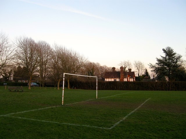
Image: © Simon Carey Taken: 24 Jan 2015
The current house was built between the wars and was named after an older property to the west which appears on the 1881 OS map but disappears thereafter. It was roughly located where the current car park for Whitemans Green playing fields is.
Images are licensed for reuse under creativecommons.org/licenses/by-sa/2.0
Image Location
Latitude
51.01497
Longitude
-0.145973