Brainsmead, Cuckfield
Introduction
The photograph on this page of Brainsmead, Cuckfield by Simon Carey as part of the Geograph project.
The Geograph project started in 2005 with the aim of publishing, organising and preserving representative images for every square kilometre of Great Britain, Ireland and the Isle of Man.

There are currently over 7.5m images from over 14,400 individuals and you can help contribute to the project by visiting https://www.geograph.org.uk
Brainsmead, Cuckfield
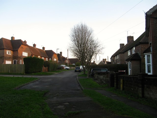
Image: © Simon Carey Taken: 24 Jan 2015
The northern part of the road, see Image for the southern portion. The western side was completed before the Second World War whilst the eastern side was added in the 1950s.
Images are licensed for reuse under creativecommons.org/licenses/by-sa/2.0
Image Location
Latitude
51.014266
Longitude
-0.141296