Graveley Mead
Introduction
The photograph on this page of Graveley Mead by Simon Carey as part of the Geograph project.
The Geograph project started in 2005 with the aim of publishing, organising and preserving representative images for every square kilometre of Great Britain, Ireland and the Isle of Man.

There are currently over 7.5m images from over 14,400 individuals and you can help contribute to the project by visiting https://www.geograph.org.uk
Graveley Mead
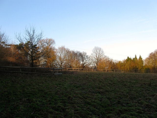
Image: © Simon Carey Taken: 24 Jan 2015
The name of the field according to Cuckfield's 1843 tithe map that lies to the east of Gravelye Farm and south of Hanlye Lane. Much of the area south of the footpath is now wooded.
Images are licensed for reuse under creativecommons.org/licenses/by-sa/2.0
Image Location
Latitude
51.014571
Longitude
-0.121039