NE boundary of Cwmdare
Introduction
The photograph on this page of NE boundary of Cwmdare by Jaggery as part of the Geograph project.
The Geograph project started in 2005 with the aim of publishing, organising and preserving representative images for every square kilometre of Great Britain, Ireland and the Isle of Man.

There are currently over 7.5m images from over 14,400 individuals and you can help contribute to the project by visiting https://www.geograph.org.uk
NE boundary of Cwmdare
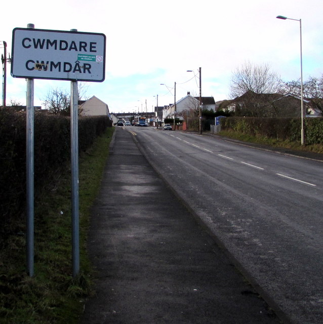
Image: © Jaggery Taken: 31 Jan 2015
About 200 metres west of the B4275 (Hirwaun Road and Cemetery Road), Cwmdare Road reaches the village of Cwmdare (Cwmdâr in Welsh).
Images are licensed for reuse under creativecommons.org/licenses/by-sa/2.0
Image Location
Latitude
51.722386
Longitude
-3.468363