Pond near Gravelye Farm
Introduction
The photograph on this page of Pond near Gravelye Farm by Simon Carey as part of the Geograph project.
The Geograph project started in 2005 with the aim of publishing, organising and preserving representative images for every square kilometre of Great Britain, Ireland and the Isle of Man.

There are currently over 7.5m images from over 14,400 individuals and you can help contribute to the project by visiting https://www.geograph.org.uk
Pond near Gravelye Farm
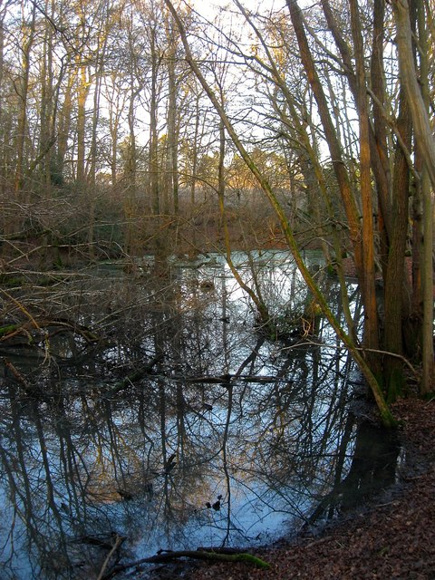
Image: © Simon Carey Taken: 24 Jan 2015
Marked on the 1875 OS map and most likely an old quarry.
Images are licensed for reuse under creativecommons.org/licenses/by-sa/2.0
Image Location
Latitude
51.013719
Longitude
-0.118365