Five Acres/Kiln Field
Introduction
The photograph on this page of Five Acres/Kiln Field by Simon Carey as part of the Geograph project.
The Geograph project started in 2005 with the aim of publishing, organising and preserving representative images for every square kilometre of Great Britain, Ireland and the Isle of Man.

There are currently over 7.5m images from over 14,400 individuals and you can help contribute to the project by visiting https://www.geograph.org.uk
Five Acres/Kiln Field
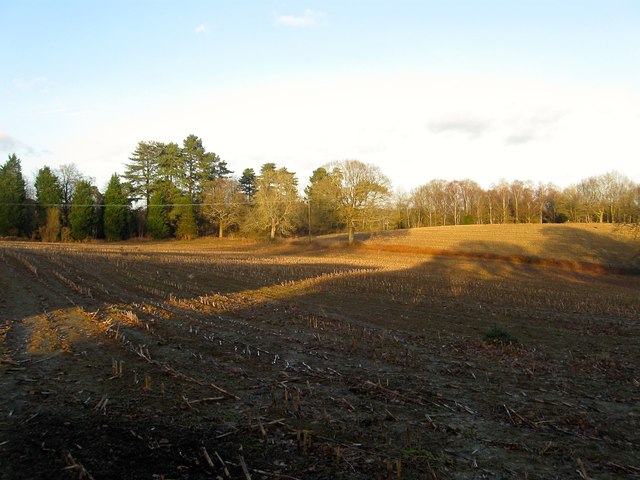
Image: © Simon Carey Taken: 24 Jan 2015
The name of the fields according to Cuckfield's 1843 tithe map. Five Acres is in the foreground covered in shadows and has now been extended to include Image to the south. Kiln Field lies beyond the hedge and is bounded by Hanlye lane to the north and Balcombe Road to the east. The south west corner of the field was developed in the early 1960s and now contains Image The titular kiln was still marked on the 1875 OS map and was located roughly where the junction of Penland Road and Balcombe road stands.
Images are licensed for reuse under creativecommons.org/licenses/by-sa/2.0
Image Location
Latitude
51.014274
Longitude
-0.113781