Penland Furze Field
Introduction
The photograph on this page of Penland Furze Field by Simon Carey as part of the Geograph project.
The Geograph project started in 2005 with the aim of publishing, organising and preserving representative images for every square kilometre of Great Britain, Ireland and the Isle of Man.

There are currently over 7.5m images from over 14,400 individuals and you can help contribute to the project by visiting https://www.geograph.org.uk
Penland Furze Field
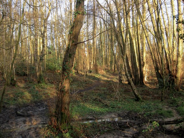
Image: © Simon Carey Taken: 24 Jan 2015
The name of the field according to Cuckfield's 1843 tithe map that is now a wood to the north of the playing fields belonging to Image To the east and now part of the same wood is Image whilst to the north is Kiln Field, see Image, and to the west is Image The field was still in existence on a 1947 aerial photograph and on OS maps up to the 1970s.
Images are licensed for reuse under creativecommons.org/licenses/by-sa/2.0
Image Location
Latitude
51.012182
Longitude
-0.112297