Harlands Primary School, Haywards Heath
Introduction
The photograph on this page of Harlands Primary School, Haywards Heath by Simon Carey as part of the Geograph project.
The Geograph project started in 2005 with the aim of publishing, organising and preserving representative images for every square kilometre of Great Britain, Ireland and the Isle of Man.

There are currently over 7.5m images from over 14,400 individuals and you can help contribute to the project by visiting https://www.geograph.org.uk
Harlands Primary School, Haywards Heath
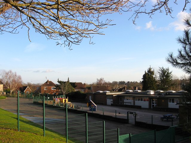
Image: © Simon Carey Taken: 24 Jan 2015
Built along with much of the Harlands estate in the late 1950s and early 1960s and occupying part of an old field called Woodfield according to Cuckfield's 1843 tithe map
Images are licensed for reuse under creativecommons.org/licenses/by-sa/2.0
Image Location
Latitude
51.011251
Longitude
-0.110339