Sugworths Twelve Acres
Introduction
The photograph on this page of Sugworths Twelve Acres by Simon Carey as part of the Geograph project.
The Geograph project started in 2005 with the aim of publishing, organising and preserving representative images for every square kilometre of Great Britain, Ireland and the Isle of Man.

There are currently over 7.5m images from over 14,400 individuals and you can help contribute to the project by visiting https://www.geograph.org.uk
Sugworths Twelve Acres
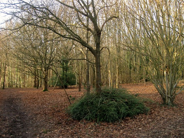
Image: © Simon Carey Taken: 24 Jan 2015
The name of the field according to Cuckfield's 1843 tithe map of which this wooded area located in the south west corner north of Image is the only part that has not been developed. The rest of the field now lies under Penland Road, Barn Mead and Sugworth Close all of which was built during the late 1950s/early 1960s and are now part of Haywards Heath.
Images are licensed for reuse under creativecommons.org/licenses/by-sa/2.0
Image Location
Latitude
51.01179
Longitude
-0.110317