Penland Road, Haywards Heath
Introduction
The photograph on this page of Penland Road, Haywards Heath by Simon Carey as part of the Geograph project.
The Geograph project started in 2005 with the aim of publishing, organising and preserving representative images for every square kilometre of Great Britain, Ireland and the Isle of Man.

There are currently over 7.5m images from over 14,400 individuals and you can help contribute to the project by visiting https://www.geograph.org.uk
Penland Road, Haywards Heath
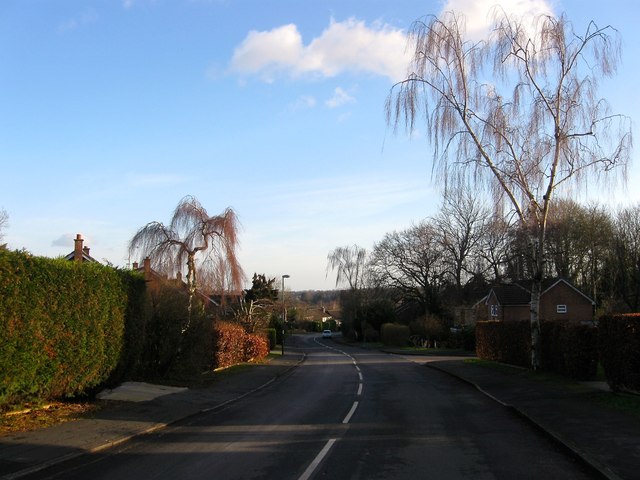
Image: © Simon Carey Taken: 24 Jan 2015
A residential road linking Balcombe Road to Harlands Road that was part of a large development in the 1960s on lands once farmed by Harlands and Penlands Farms and originally part of the parish of Cuckfield. The section in the foreground and including The Spinney cul de sac was developed on south east portion of Kiln Field part of which still survives as an open field, see Image The kiln in question was still marked on the 1875 OS map and was roughly located where the junction of Penland Road with Balcombe Road is.
Images are licensed for reuse under creativecommons.org/licenses/by-sa/2.0
Image Location
Latitude
51.013316
Longitude
-0.110113