Brynmor Parc, Newton
Introduction
The photograph on this page of Brynmor Parc, Newton by John Winder as part of the Geograph project.
The Geograph project started in 2005 with the aim of publishing, organising and preserving representative images for every square kilometre of Great Britain, Ireland and the Isle of Man.

There are currently over 7.5m images from over 14,400 individuals and you can help contribute to the project by visiting https://www.geograph.org.uk
Brynmor Parc, Newton
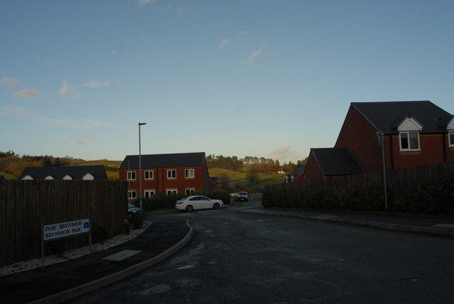
Image: © John Winder Taken: 30 Jan 2015
Off The Bryn, which is Welsh for "Hill", as far as I know. Brynmor Parc is a newish development of houses on the edge of Newtown. Taken with the last of the light as I was delivering stuff to an even newer development on the opposite side of the road.
Images are licensed for reuse under creativecommons.org/licenses/by-sa/2.0
Image Location
Latitude
52.522476
Longitude
-3.319064