The Ure at Danby Low Mill
Introduction
The photograph on this page of The Ure at Danby Low Mill by Gordon Hatton as part of the Geograph project.
The Geograph project started in 2005 with the aim of publishing, organising and preserving representative images for every square kilometre of Great Britain, Ireland and the Isle of Man.

There are currently over 7.5m images from over 14,400 individuals and you can help contribute to the project by visiting https://www.geograph.org.uk
The Ure at Danby Low Mill
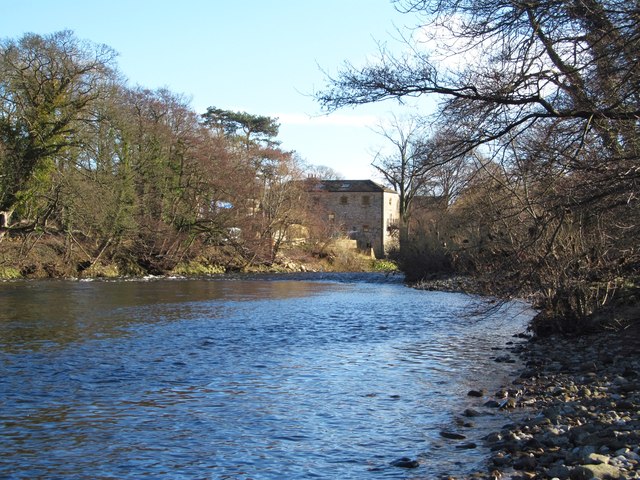
Image: © Gordon Hatton Taken: 30 Jan 2015
Looking downstream to the old watermill, now converted into a dwelling.
Images are licensed for reuse under creativecommons.org/licenses/by-sa/2.0
Image Location
Latitude
54.278595
Longitude
-1.766064