Wray Crescent Open Space
Introduction
The photograph on this page of Wray Crescent Open Space by Marathon as part of the Geograph project.
The Geograph project started in 2005 with the aim of publishing, organising and preserving representative images for every square kilometre of Great Britain, Ireland and the Isle of Man.

There are currently over 7.5m images from over 14,400 individuals and you can help contribute to the project by visiting https://www.geograph.org.uk
Wray Crescent Open Space
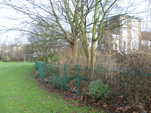
Image: © Marathon Taken: 28 Jan 2015
This is Wray Crescent Open Space. To the right of the railings is Tollington Place, which leads to Tollington Park - see http://www.geograph.org.uk/photo/4328571
Images are licensed for reuse under creativecommons.org/licenses/by-sa/2.0
Image Location
Latitude
51.56595
Longitude
-0.117153