Hampton Road
Introduction
The photograph on this page of Hampton Road by Alan Walker as part of the Geograph project.
The Geograph project started in 2005 with the aim of publishing, organising and preserving representative images for every square kilometre of Great Britain, Ireland and the Isle of Man.

There are currently over 7.5m images from over 14,400 individuals and you can help contribute to the project by visiting https://www.geograph.org.uk
Hampton Road
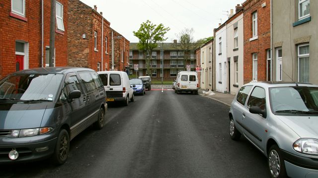
Image: © Alan Walker Taken: 2 May 2007
The photograph shows the western end of Hampton Road looking toward its junction with Image and beyond, Wilkinson Flats. For a more easterly (behind the viewpoint) photograph of Hampton Road but looking in the opposite direction, click here Image Road name information from OS Maps at:- Elgin, http://www.elgin.gov.uk/
Images are licensed for reuse under creativecommons.org/licenses/by-sa/2.0
Image Location


Leaflet Map data © OpenStreetMap
Latitude
54.278351
Longitude
-0.419275