Mottram in Longdendale Village Map
Introduction
The photograph on this page of Mottram in Longdendale Village Map by Gerald England as part of the Geograph project.
The Geograph project started in 2005 with the aim of publishing, organising and preserving representative images for every square kilometre of Great Britain, Ireland and the Isle of Man.

There are currently over 7.5m images from over 14,400 individuals and you can help contribute to the project by visiting https://www.geograph.org.uk
Mottram in Longdendale Village Map
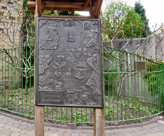
Image: © Gerald England Taken: 9 May 2008
A (not-to-scale) map of the village showing the whereabouts of important buildings including, controversially, the home of Tameside Council Leader Roy Oldham.
Images are licensed for reuse under creativecommons.org/licenses/by-sa/2.0
Image Location
Latitude
53.457511
Longitude
-2.01231