Chestnuts coach house
Introduction
The photograph on this page of Chestnuts coach house by Mike Kirby as part of the Geograph project.
The Geograph project started in 2005 with the aim of publishing, organising and preserving representative images for every square kilometre of Great Britain, Ireland and the Isle of Man.

There are currently over 7.5m images from over 14,400 individuals and you can help contribute to the project by visiting https://www.geograph.org.uk
Chestnuts coach house
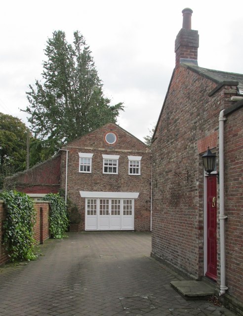
Image: © Mike Kirby Taken: 22 Oct 2014
A grade II listed coach-house, now a garage, dated c1800. Constructed in brick and comprising a 2-storey pedimented central section with lower wings having lean-to roofs. See Image LBS No: 165360
Images are licensed for reuse under creativecommons.org/licenses/by-sa/2.0
Image Location
Latitude
53.744834
Longitude
-0.86881