Sinclair Court
Introduction
The photograph on this page of Sinclair Court by Alan Walker as part of the Geograph project.
The Geograph project started in 2005 with the aim of publishing, organising and preserving representative images for every square kilometre of Great Britain, Ireland and the Isle of Man.

There are currently over 7.5m images from over 14,400 individuals and you can help contribute to the project by visiting https://www.geograph.org.uk
Sinclair Court
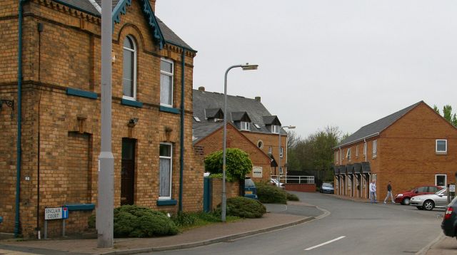
Image: © Alan Walker Taken: 2 May 2007
Off the western end of Image (right) and opposite the junction with Image, Sinclair Court was named after the builders yard that once occupied this location.
Images are licensed for reuse under creativecommons.org/licenses/by-sa/2.0
Image Location


Leaflet Map data © OpenStreetMap
Latitude
54.279662
Longitude
-0.41646