Barley, Swinney
Introduction
The photograph on this page of Barley, Swinney by Richard Webb as part of the Geograph project.
The Geograph project started in 2005 with the aim of publishing, organising and preserving representative images for every square kilometre of Great Britain, Ireland and the Isle of Man.

There are currently over 7.5m images from over 14,400 individuals and you can help contribute to the project by visiting https://www.geograph.org.uk
Barley, Swinney
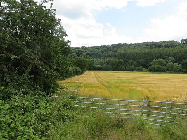
Image: © Richard Webb Taken: 30 Jun 2014
Every now and then the steep slopes falling to the Severn relent a little allowing for farmland on the flood plain.
Images are licensed for reuse under creativecommons.org/licenses/by-sa/2.0
Image Location
Latitude
52.602489
Longitude
-2.431543