Robins Lane, Frome - another view
Introduction
The photograph on this page of Robins Lane, Frome - another view by John Winder as part of the Geograph project.
The Geograph project started in 2005 with the aim of publishing, organising and preserving representative images for every square kilometre of Great Britain, Ireland and the Isle of Man.

There are currently over 7.5m images from over 14,400 individuals and you can help contribute to the project by visiting https://www.geograph.org.uk
Robins Lane, Frome - another view
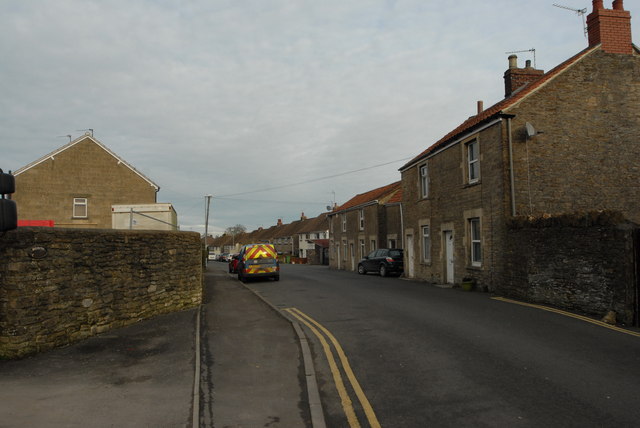
Image: © John Winder Taken: 27 Jan 2015
The site I was delivering to is on the left: the mirrors of my lorry are just visible! The red block marks the top of the first storey of the house which is being built on the site. While Googling to find out something of the history of the area, I discovered that Robins Lane is 97.94 miles West of the centre of London, 19.03 miles South East of the centre of Bristol and approximately 18.69 miles from the sea (tidal high water mark). So now you know.
Images are licensed for reuse under creativecommons.org/licenses/by-sa/2.0
Image Location
Latitude
51.232423
Longitude
-2.332374