Knapp Hill
Introduction
The photograph on this page of Knapp Hill by Anthony Vosper as part of the Geograph project.
The Geograph project started in 2005 with the aim of publishing, organising and preserving representative images for every square kilometre of Great Britain, Ireland and the Isle of Man.

There are currently over 7.5m images from over 14,400 individuals and you can help contribute to the project by visiting https://www.geograph.org.uk
Knapp Hill
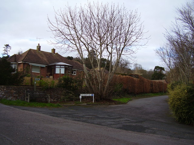
Image: © Anthony Vosper Taken: 27 Jan 2015
The tree in the foreground is unusual as it is a'coppiced' Horse Chestnut. It was cut down as a young tree. The stump then regrew.
Images are licensed for reuse under creativecommons.org/licenses/by-sa/2.0
Image Location
Latitude
50.687081
Longitude
-3.243551