Kingdom Hall below Stafford Road, Griffithstown, Pontypool
Introduction
The photograph on this page of Kingdom Hall below Stafford Road, Griffithstown, Pontypool by Jaggery as part of the Geograph project.
The Geograph project started in 2005 with the aim of publishing, organising and preserving representative images for every square kilometre of Great Britain, Ireland and the Isle of Man.

There are currently over 7.5m images from over 14,400 individuals and you can help contribute to the project by visiting https://www.geograph.org.uk
Kingdom Hall below Stafford Road, Griffithstown, Pontypool
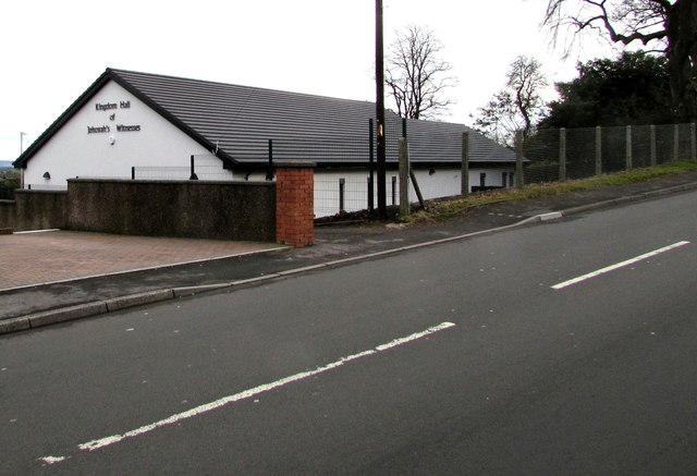
Image: © Jaggery Taken: 27 Jan 2015
Viewed in late January 2015. The hall is recently built. A Google Earth Street View taken in June 2011 shows a vacant plot here. Jehovah's Witnesses use Kingdom Hall to describe their places of worship because the biblical use of church usually refers to the congregation of people rather than a structure.
Images are licensed for reuse under creativecommons.org/licenses/by-sa/2.0
Image Location
Latitude
51.688933
Longitude
-3.028935