Howe Park Wood
Introduction
The photograph on this page of Howe Park Wood by Philip Jeffrey as part of the Geograph project.
The Geograph project started in 2005 with the aim of publishing, organising and preserving representative images for every square kilometre of Great Britain, Ireland and the Isle of Man.

There are currently over 7.5m images from over 14,400 individuals and you can help contribute to the project by visiting https://www.geograph.org.uk
Howe Park Wood
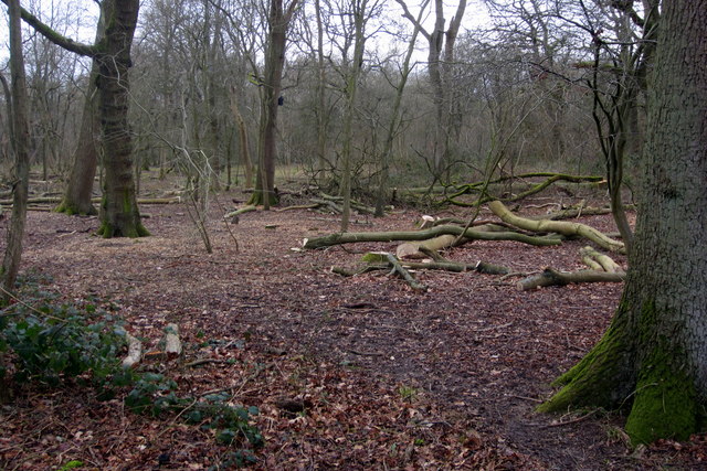
Image: © Philip Jeffrey Taken: 29 Jan 2015
This ancient woodland SSSI dating back to the 13th century seems to have had too many trees!
Images are licensed for reuse under creativecommons.org/licenses/by-sa/2.0
Image Location
Latitude
52.001795
Longitude
-0.787402