Higherside Flats, Dartmouth
Introduction
The photograph on this page of Higherside Flats, Dartmouth by Jaggery as part of the Geograph project.
The Geograph project started in 2005 with the aim of publishing, organising and preserving representative images for every square kilometre of Great Britain, Ireland and the Isle of Man.

There are currently over 7.5m images from over 14,400 individuals and you can help contribute to the project by visiting https://www.geograph.org.uk
Higherside Flats, Dartmouth
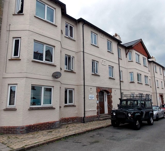
Image: © Jaggery Taken: 5 Jul 2014
Viewed across Higher Street. The entrance to flats 7-12 is in view. The entrance to flats 1-6 is behind the cars.
Images are licensed for reuse under creativecommons.org/licenses/by-sa/2.0
Image Location
Latitude
50.350077
Longitude
-3.578818