St Marks Parish Hall
Introduction
The photograph on this page of St Marks Parish Hall by Colin Manton as part of the Geograph project.
The Geograph project started in 2005 with the aim of publishing, organising and preserving representative images for every square kilometre of Great Britain, Ireland and the Isle of Man.

There are currently over 7.5m images from over 14,400 individuals and you can help contribute to the project by visiting https://www.geograph.org.uk
St Marks Parish Hall
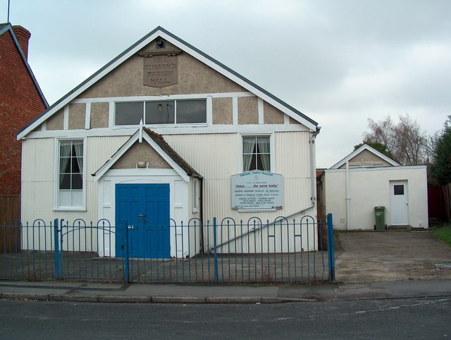
Image: © Colin Manton Taken: 14 Feb 2004
St Marks Parish Hall, Rowanfield Road, Cheltenham. This building which stood on the site since 1911, recently disappeared when it was replaced by three dwellings.
Images are licensed for reuse under creativecommons.org/licenses/by-sa/2.0
Image Location
Latitude
51.89974
Longitude
-2.102125