Path from Stafford Road to Maesderwen Rise, Pontypool
Introduction
The photograph on this page of Path from Stafford Road to Maesderwen Rise, Pontypool by Jaggery as part of the Geograph project.
The Geograph project started in 2005 with the aim of publishing, organising and preserving representative images for every square kilometre of Great Britain, Ireland and the Isle of Man.

There are currently over 7.5m images from over 14,400 individuals and you can help contribute to the project by visiting https://www.geograph.org.uk
Path from Stafford Road to Maesderwen Rise, Pontypool
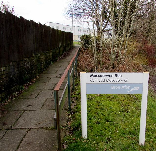
Image: © Jaggery Taken: 27 Jan 2015
Maesderwen Rise http://www.geograph.org.uk/photo/4325556 is managed by Bron Afon Community Housing Association.
Images are licensed for reuse under creativecommons.org/licenses/by-sa/2.0
Image Location
Latitude
51.694596
Longitude
-3.029063