This way for Upper Race and Cwmynyscoy
Introduction
The photograph on this page of This way for Upper Race and Cwmynyscoy by Jaggery as part of the Geograph project.
The Geograph project started in 2005 with the aim of publishing, organising and preserving representative images for every square kilometre of Great Britain, Ireland and the Isle of Man.

There are currently over 7.5m images from over 14,400 individuals and you can help contribute to the project by visiting https://www.geograph.org.uk
This way for Upper Race and Cwmynyscoy
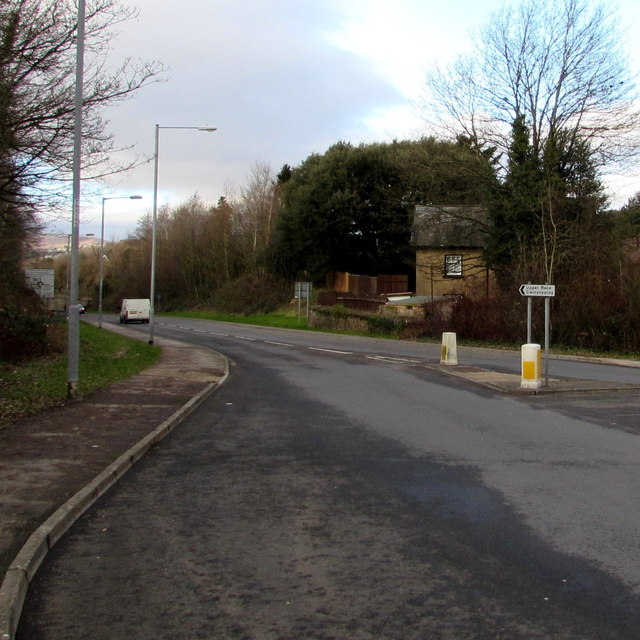
Image: © Jaggery Taken: 27 Jan 2015
Near a roundabout at the Stafford Road and Maesderwen Road junction near Griffithstown, a sign points left towards Upper Race and Cwmynyscoy.
Images are licensed for reuse under creativecommons.org/licenses/by-sa/2.0
Image Location
Latitude
51.694777
Longitude
-3.028923