Fields to the east of Brewood
Introduction
The photograph on this page of Fields to the east of Brewood by Richard Law as part of the Geograph project.
The Geograph project started in 2005 with the aim of publishing, organising and preserving representative images for every square kilometre of Great Britain, Ireland and the Isle of Man.

There are currently over 7.5m images from over 14,400 individuals and you can help contribute to the project by visiting https://www.geograph.org.uk
Fields to the east of Brewood
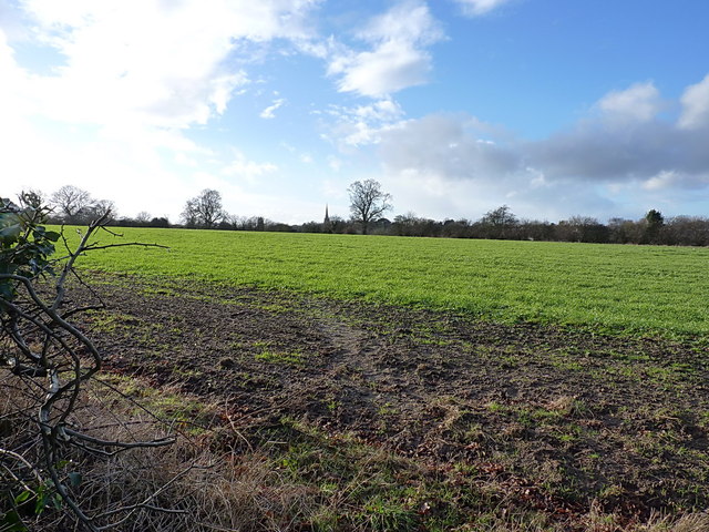
Image: © Richard Law Taken: 17 Jan 2015
Across ordinary agricultural land, with the spire of St Mary & St Chad's church most prominent on the skyline.
Images are licensed for reuse under creativecommons.org/licenses/by-sa/2.0
Image Location


Leaflet Map data © OpenStreetMap
Latitude
52.676702
Longitude
-2.161614