Benchmark on Methodist Church, West Chinnock
Introduction
The photograph on this page of Benchmark on Methodist Church, West Chinnock by Becky Williamson as part of the Geograph project.
The Geograph project started in 2005 with the aim of publishing, organising and preserving representative images for every square kilometre of Great Britain, Ireland and the Isle of Man.

There are currently over 7.5m images from over 14,400 individuals and you can help contribute to the project by visiting https://www.geograph.org.uk
Benchmark on Methodist Church, West Chinnock
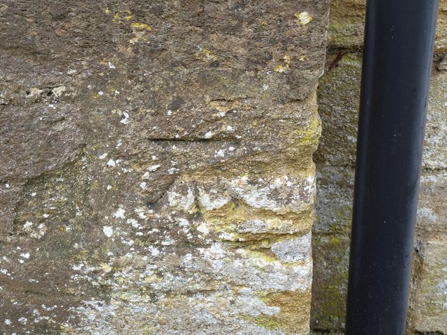
Image: © Becky Williamson Taken: 28 Jan 2015
Ordnance Survey benchmark, described on database at http://www.bench-marks.org.uk/bm63828. See also Image
Images are licensed for reuse under creativecommons.org/licenses/by-sa/2.0
Image Location


Leaflet Map data © OpenStreetMap
Latitude
50.916962
Longitude
-2.758878