Part of Perinville Road, Babbacombe
Introduction
The photograph on this page of Part of Perinville Road, Babbacombe by David Smith as part of the Geograph project.
The Geograph project started in 2005 with the aim of publishing, organising and preserving representative images for every square kilometre of Great Britain, Ireland and the Isle of Man.

There are currently over 7.5m images from over 14,400 individuals and you can help contribute to the project by visiting https://www.geograph.org.uk
Part of Perinville Road, Babbacombe
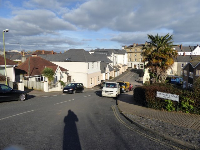
Image: © David Smith Taken: 27 Jan 2015
A residential road, leading off Babbacombe Road, the through road at the foot of the hill
Images are licensed for reuse under creativecommons.org/licenses/by-sa/2.0
Image Location
Latitude
50.476675
Longitude
-3.513691