Lane to Liddaton
Introduction
The photograph on this page of Lane to Liddaton by Derek Harper as part of the Geograph project.
The Geograph project started in 2005 with the aim of publishing, organising and preserving representative images for every square kilometre of Great Britain, Ireland and the Isle of Man.

There are currently over 7.5m images from over 14,400 individuals and you can help contribute to the project by visiting https://www.geograph.org.uk
Lane to Liddaton
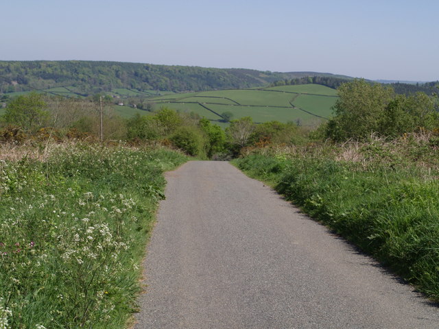
Image: © Derek Harper Taken: 1 May 2007
The lane from Image begins its plunge down the steep northern slope of Liddaton Down. The fields on the far slope are near Coryhill in SX4683.
Images are licensed for reuse under creativecommons.org/licenses/by-sa/2.0
Image Location


Leaflet Map data © OpenStreetMap
Latitude
50.617807
Longitude
-4.181216