Field on Liddaton Down
Introduction
The photograph on this page of Field on Liddaton Down by Derek Harper as part of the Geograph project.
The Geograph project started in 2005 with the aim of publishing, organising and preserving representative images for every square kilometre of Great Britain, Ireland and the Isle of Man.

There are currently over 7.5m images from over 14,400 individuals and you can help contribute to the project by visiting https://www.geograph.org.uk
Field on Liddaton Down
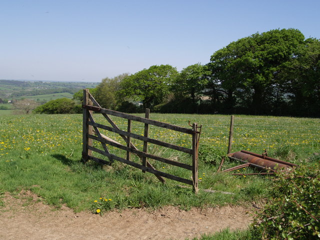
Image: © Derek Harper Taken: 1 May 2007
To the west of the common land on Liddaton Down, the north side of the ridge is composed of fields. The ground slopes gently for a while, so the views are not dramatic.
Images are licensed for reuse under creativecommons.org/licenses/by-sa/2.0
Image Location
Latitude
50.617936
Longitude
-4.188714