Emergency fire engine, Stafford Road, Griffithstown, Pontypool
Introduction
The photograph on this page of Emergency fire engine, Stafford Road, Griffithstown, Pontypool by Jaggery as part of the Geograph project.
The Geograph project started in 2005 with the aim of publishing, organising and preserving representative images for every square kilometre of Great Britain, Ireland and the Isle of Man.

There are currently over 7.5m images from over 14,400 individuals and you can help contribute to the project by visiting https://www.geograph.org.uk
Emergency fire engine, Stafford Road, Griffithstown, Pontypool
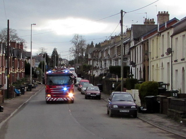
Image: © Jaggery Taken: 27 Jan 2015
Sirens sounding and blue lights flashing, a fire engine speeds north along Stafford Road.
Images are licensed for reuse under creativecommons.org/licenses/by-sa/2.0
Image Location
Latitude
51.691904
Longitude
-3.028424