Postbox in a Stafford Road wall, Griffithstown, Pontypool
Introduction
The photograph on this page of Postbox in a Stafford Road wall, Griffithstown, Pontypool by Jaggery as part of the Geograph project.
The Geograph project started in 2005 with the aim of publishing, organising and preserving representative images for every square kilometre of Great Britain, Ireland and the Isle of Man.

There are currently over 7.5m images from over 14,400 individuals and you can help contribute to the project by visiting https://www.geograph.org.uk
Postbox in a Stafford Road wall, Griffithstown, Pontypool
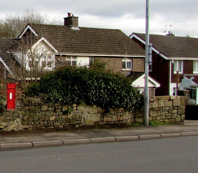
Image: © Jaggery Taken: 27 Jan 2015
Victorian postbox http://www.geograph.org.uk/photo/4325634 on the east side of Stafford Road, near the Bryn Heulog junction and the Griffithstown boundary sign. http://www.geograph.org.uk/photo/4325617
Images are licensed for reuse under creativecommons.org/licenses/by-sa/2.0
Image Location
Latitude
51.692714
Longitude
-3.028442