Path improvements
Introduction
The photograph on this page of Path improvements by Robin Webster as part of the Geograph project.
The Geograph project started in 2005 with the aim of publishing, organising and preserving representative images for every square kilometre of Great Britain, Ireland and the Isle of Man.

There are currently over 7.5m images from over 14,400 individuals and you can help contribute to the project by visiting https://www.geograph.org.uk
Path improvements
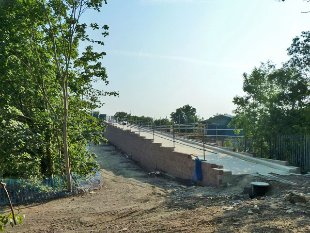
Image: © Robin Webster Taken: 21 Jul 2013
A new ramp up to the railway bridge is being built.
Images are licensed for reuse under creativecommons.org/licenses/by-sa/2.0
Image Location
Latitude
51.508732
Longitude
-0.552398