Junction of Middlegreen Road and Nursery Lane
Introduction
The photograph on this page of Junction of Middlegreen Road and Nursery Lane by Robin Webster as part of the Geograph project.
The Geograph project started in 2005 with the aim of publishing, organising and preserving representative images for every square kilometre of Great Britain, Ireland and the Isle of Man.

There are currently over 7.5m images from over 14,400 individuals and you can help contribute to the project by visiting https://www.geograph.org.uk
Junction of Middlegreen Road and Nursery Lane
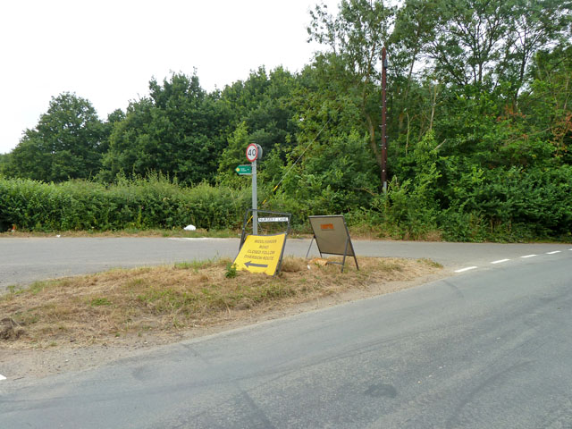
Image: © Robin Webster Taken: 21 Jul 2013
The diversion sign appears to send traffic down Nursery Lane, which is a dead end. It is probably meant to direct traffic emerging from Nursery Lane. Middlegreen Road was temporarily closed some way behind the camera at the railway bridge.
Images are licensed for reuse under creativecommons.org/licenses/by-sa/2.0
Image Location
Latitude
51.511746
Longitude
-0.563543