Motherby Hill (Upper Section), Lincoln
Introduction
The photograph on this page of Motherby Hill (Upper Section), Lincoln by David Hallam-Jones as part of the Geograph project.
The Geograph project started in 2005 with the aim of publishing, organising and preserving representative images for every square kilometre of Great Britain, Ireland and the Isle of Man.

There are currently over 7.5m images from over 14,400 individuals and you can help contribute to the project by visiting https://www.geograph.org.uk
Motherby Hill (Upper Section), Lincoln
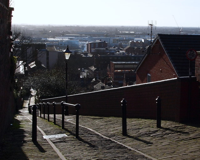
Image: © David Hallam-Jones Taken: 24 Jan 2015
From near the top of this ancient thoroughfare with views of the west side of the city. This pathway formed of stone setts follows the line of the former western boundary wall of their fortifications during the time that the Romans occupied Lincoln. The lower gate (West Gate) is said to be buried under tarmac where this path joins West Parade.
Images are licensed for reuse under creativecommons.org/licenses/by-sa/2.0
Image Location
Latitude
53.233421
Longitude
-0.542834