Woodland and marshy ground by the Tarka Trail
Introduction
The photograph on this page of Woodland and marshy ground by the Tarka Trail by David Smith as part of the Geograph project.
The Geograph project started in 2005 with the aim of publishing, organising and preserving representative images for every square kilometre of Great Britain, Ireland and the Isle of Man.

There are currently over 7.5m images from over 14,400 individuals and you can help contribute to the project by visiting https://www.geograph.org.uk
Woodland and marshy ground by the Tarka Trail
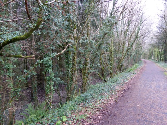
Image: © David Smith Taken: 23 Jan 2015
The former railway (now Tarka Trail) runs along an embankment here; on the uphill side of the route the wood has become marshy at the foot of the embankment slope
Images are licensed for reuse under creativecommons.org/licenses/by-sa/2.0
Image Location
Latitude
50.969712
Longitude
-4.172882