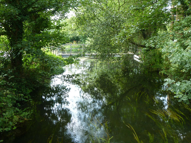
Canal overflow cut
Introduction
The photograph on this page of Canal overflow cut by Robin Webster as part of the Geograph project.
The Geograph project started in 2005 with the aim of publishing, organising and preserving representative images for every square kilometre of Great Britain, Ireland and the Isle of Man.
There are currently over 7.5m images from over 14,400 individuals and you can help contribute to the project by visiting https://www.geograph.org.uk

Image: © Robin Webster Taken: 21 Jul 2013
Just below Uxbridge Lock, the Grand Union Canal is fed from the east by some of the several waterways in the Colne valley. Here some of this flow leaves to the west to augment the mill stream of the former Upper Colham Mill. The way this is arranged suggests it was also once a small dock.

